In this article
- Why the fortress survived
- Starting point: the Bock
- The Chemin de la Corniche
- Down into Grund and the abbey
- The Wenceslas wall and the casemates of the Bock and Pétrusse
- Place de la Constitution and the Gëlle Fra
- The cathedral, the palace and the old streets
- What living near the heritage site actually involves
- Our take
Why the fortress survived
Luxembourg's strategic position, at the crossing of routes between France, Germany and the Low Countries, made it one of the most fought-over and rebuilt fortresses in Europe, earning it the nickname "Gibraltar of the North". Successive rulers, Burgundian, Spanish, French, Austrian and Prussian, each added to the defences over nearly a thousand years. When the fortress was largely dismantled after the 1867 Treaty of London, which declared Luxembourg's neutrality, the demolition took sixteen years and removed most of the above-ground walls, but the underground casemates and several key structures survived, either because they were too costly to remove or because parts were preserved deliberately. That mixture of visible ruins, hidden galleries and a living old town on top of it is what UNESCO recognised in 1994.
Starting point: the Bock
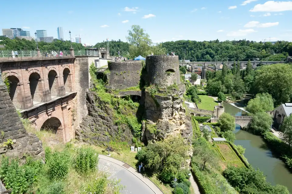
The walk begins on the Bock promontory, where Count Siegfried built a castle in 963, the traditional founding date of the city. Today the site holds the entrance to the Bock Casemates, a network of tunnels first excavated by Austrian engineers in 1745. The main gallery alone runs about 110 metres long and 7 metres wide, and the wider network offered space for soldiers, horses, workshops and provisions during sieges. In 2026, the Bock Casemates are open daily except 25 December and 1 January, with shorter hours in the low season (January to late March and November to December) and longer hours in summer; check the current times and the roughly €11 adult ticket price on the official Luxembourg City Tourist Office site before visiting, since seasonal hours shift each year.
The Chemin de la Corniche
From the Bock, the Chemin de la Corniche runs along the clifftop above the Alzette, often nicknamed "Europe's most beautiful balcony". It gives an uninterrupted view down into the Grund valley, the Neumünster Abbey, and the fortified Wenceslas wall running along the opposite ridge. This stretch also gives a clear sense of why Ville Haute and Grund, only a few dozen metres apart in elevation, function as such different quarters day to day, a contrast our guide to living in the old town covers from a resident's perspective rather than a historical one.
Down into Grund and the abbey
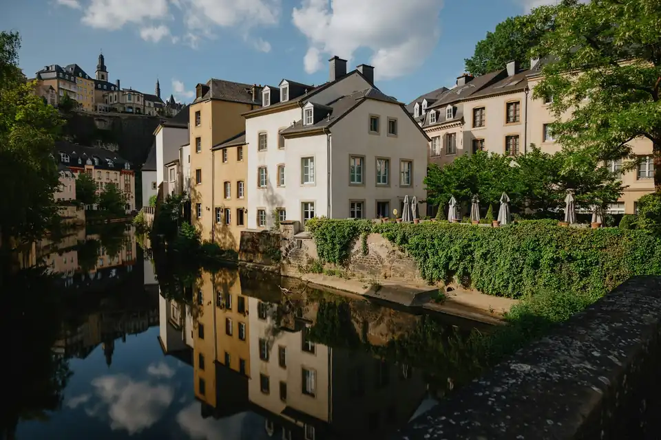
Steps and a public lift connect the Corniche to Grund below, where the Neumünster Abbey, rebuilt in the 17th century after an earlier abbey on the Bock was destroyed, now serves as a cultural and conference centre. Grund's fortified river gate, mills and terraced houses along the Alzette make it the most visually complete surviving valley quarter, and it remains inhabited rather than being a purely historical set piece, as our dedicated guide to the valley quarters of Grund, Clausen and Pfaffenthal explains in more depth for people considering living there.
The Wenceslas wall and the casemates of the Bock and Pétrusse
The Wenceslas wall, the oldest surviving stretch of city fortification, dates to the 14th century and can still be traced along parts of the valley side. Separately from the Bock casemates, the Pétrusse casemates, expanded in 1746 under Austrian rule, run along the Pétrusse valley on the opposite side of Ville Haute. Unlike the Bock casemates, the Pétrusse galleries are only accessible on guided tours with limited time slots, roughly 45 minutes, and a somewhat higher ticket price; again, confirm current dates and prices with the tourist office, since the two sites are managed together but do not share identical opening patterns.
Place de la Constitution and the Gëlle Fra
Above the Pétrusse casemates, the Place de la Constitution offers one of the best panoramic views over the valley and is home to the Gëlle Fra (Golden Lady) monument, commemorating Luxembourgers who died in the First World War and later conflicts. The square sits directly above the casemates and is itself part of the fortification history, built over what was once a bastion. It is also one of the sites earmarked for redevelopment into a more pedestrian-friendly public space as part of the City's wider Ville Haute planning work, so its appearance may change somewhat in the coming years even as the underlying heritage protections remain.
The cathedral, the palace and the old streets
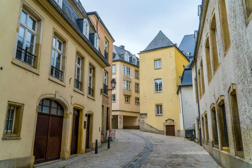
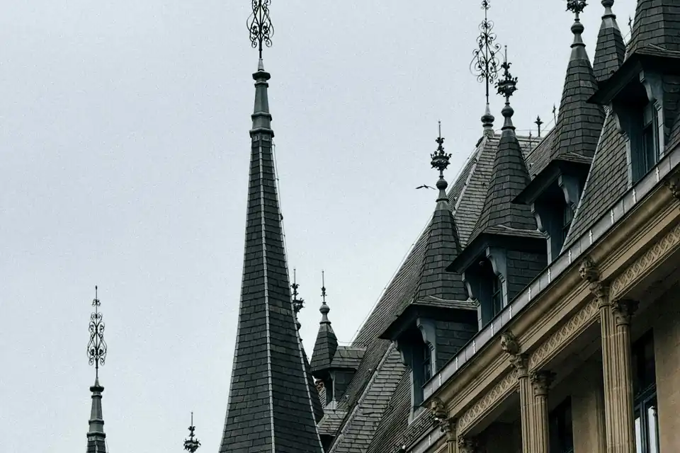
Continuing into Ville Haute, the route passes Notre-Dame Cathedral, the country's only cathedral, and the Grand Ducal Palace, built in the 16th century and the country's grand ducal residence since the late 19th century, with its distinctive Flemish Renaissance facade. The surrounding streets, including the Knuedler square and Rue du Marché-aux-Herbes, form the commercial heart of the old town and are covered as a place to live, rather than a heritage site, in our Ville Haute guide. Much of the street pattern here still follows the medieval and early modern layout, which is part of why the area reads as a coherent historical ensemble rather than a scattering of individual monuments; it is the whole fabric, not just the casemates and the palace, that earned the UNESCO listing.
What living near the heritage site actually involves
For residents, the practical implications of the UNESCO listing include:
- Renovation restrictions. Buildings within the protected zone are subject to heritage rules that can limit changes to facades, windows and roofs; anyone buying a period property here should ask the commune's urban planning department about applicable protections before assuming a renovation is straightforward.
- Tourist footfall. Ville Haute in particular sees heavy daytime tourist traffic around the palace, cathedral and casemates entrances, which eases in the evenings and off-season.
- Access and mobility. The public lifts connecting the Corniche, Grund and Pfaffenthal to the upper town are genuinely useful for residents, not just visitors, and are free to use, which is worth knowing if you are weighing a Grund or Pfaffenthal address against the extra stairs.
- Seasonal crowding. School holiday periods and summer weekends bring noticeably more visitors along the Corniche and around the casemates entrances than an ordinary weekday, which residents quickly learn to plan around when choosing when to walk the dog or take the direct route home.
Our take
The old town and fortifications are not a backdrop; they shape how these quarters function day to day, from the free public lifts that make the valley quarters livable to the heritage rules that limit what a period building can become. If you are drawn to the idea of living inside a UNESCO site, our guides to Ville Haute and the valley quarters go into what daily life is actually like there. For listings in or near the old town, see our current properties or contact us.